
Spain Geospatial Analytics Market Size, Share, Trends and Forecast by Type, End Use Industry, and Region, 2025-2033
Spain Geospatial Analytics Market Overview:
The Spain geospatial analytics market size reached USD 1.83 Billion in 2024. Looking forward, IMARC Group expects the market to reach USD 4.43 Billion by 2033, exhibiting a growth rate (CAGR) of 9.57% during 2025-2033. The Spain geospatial analytics market is driven by growing smart city initiatives, expanding data center infrastructure, the integration of AI and machine learning in geospatial analysis, increasing demand for precision agriculture, advancements in remote sensing technology, and government investments in spatial data applications for urban planning, environmental monitoring, and infrastructure development.
|
Report Attribute
|
Key Statistics
|
|---|---|
|
Base Year
|
2024 |
|
Forecast Years
|
2025-2033
|
|
Historical Years
|
2019-2024
|
| Market Size in 2024 | USD 1.83 Billion |
| Market Forecast in 2033 | USD 4.43 Billion |
| Market Growth Rate (2025-2033) | 9.57% |
Spain Geospatial Analytics Market Trends:
Adoption of Smart City Initiatives and Urban Planning
The increasing investments in smart city development are primarily driving the geospatial analytics market in Spain. Moreover, urban development and local governments are using geospatial data to add value to infrastructure, maximize resource allocation, and develop public services. Geospatial analytics in urban planning enables communities to analyze traffic flows, handle utilities effectively, and drive sustainable development. Real-time decision-making through data-driven approaches results in more responsive and dynamic urban places. The Spanish government's interest in smart city initiatives is reflected in different initiatives and investments. An example is the "Plan Nacional de Ciudades Inteligentes," which is aimed at facilitating the growth of smart cities in the nation. The enhanced focus on prioritization of developing smart cities highlights the increased dependence on geospatial analytics for urban development. This rising reliance on geospatial analytics is also supported by Spain's involvement in EU-funded smart city initiatives, including the European Innovation Partnership on Smart Cities and Communities (EIP-SCC). This program encourages cooperation among government agencies, companies, and research centers to incorporate digital solutions into urban planning. Through these initiatives, Spain has been able to adopt sophisticated Geographic Information System (GIS) tools to improve real-time data gathering, spatial mapping, and predictive analysis.
Expansion of Data Centers and Technological Infrastructure
The rapid growth of Spanish data processing centers has made a significant contribution to the development of the market for geospatial analysis. Data processing centers play an important role in the processing and storage of vast amounts of geospatial data created from many sources, including satellites, drones, and IoT sensors. The rise in power and powerful calculations in these centers enables more sophisticated geospatial analysis in real time, supporting several industries such as transportation, agriculture, and environmental monitoring. Recent investments confirm this trend. In February 2025, a €3.6 billion investment was announced for a new technology campus in Cantabria, which will feature a 500-megawatt data center. Furthermore, Amazon Web Services (AWS) has indicated an investment of €15.7 billion in ten years to expand its data centers in Aragón. These huge investments will not only improve the processing capabilities of the country but also drive the geospatial analytics market by offering the required support for enhanced data analysis.
Spain Geospatial Analytics Market Segmentation:
IMARC Group provides an analysis of the key trends in each segment of the market, along with forecasts at the region/country level for 2025-2033. Our report has categorized the market based on type and end use industry.
Type Insights:
.webp)
- Surface Analysis
- Network Analysis
- Geovisualization
The report has provided a detailed breakup and analysis of the market based on the type. This includes surface analysis, network analysis, and geovisualization.
End Use Industry Insights:
- Agriculture
- Utility and Communication
- Defense and Intelligence
- Government
- Mining and Natural Resources
- Automotive and Transportation
- Healthcare
- Real Estate and Construction Others
- Others
A detailed breakup and analysis of the market based on the end use industry have also been provided in the report. This includes agriculture, utility and communication, defense and intelligence, government, mining and natural resources, automotive and transportation, healthcare, real estate and construction, and others.
Regional Insights:
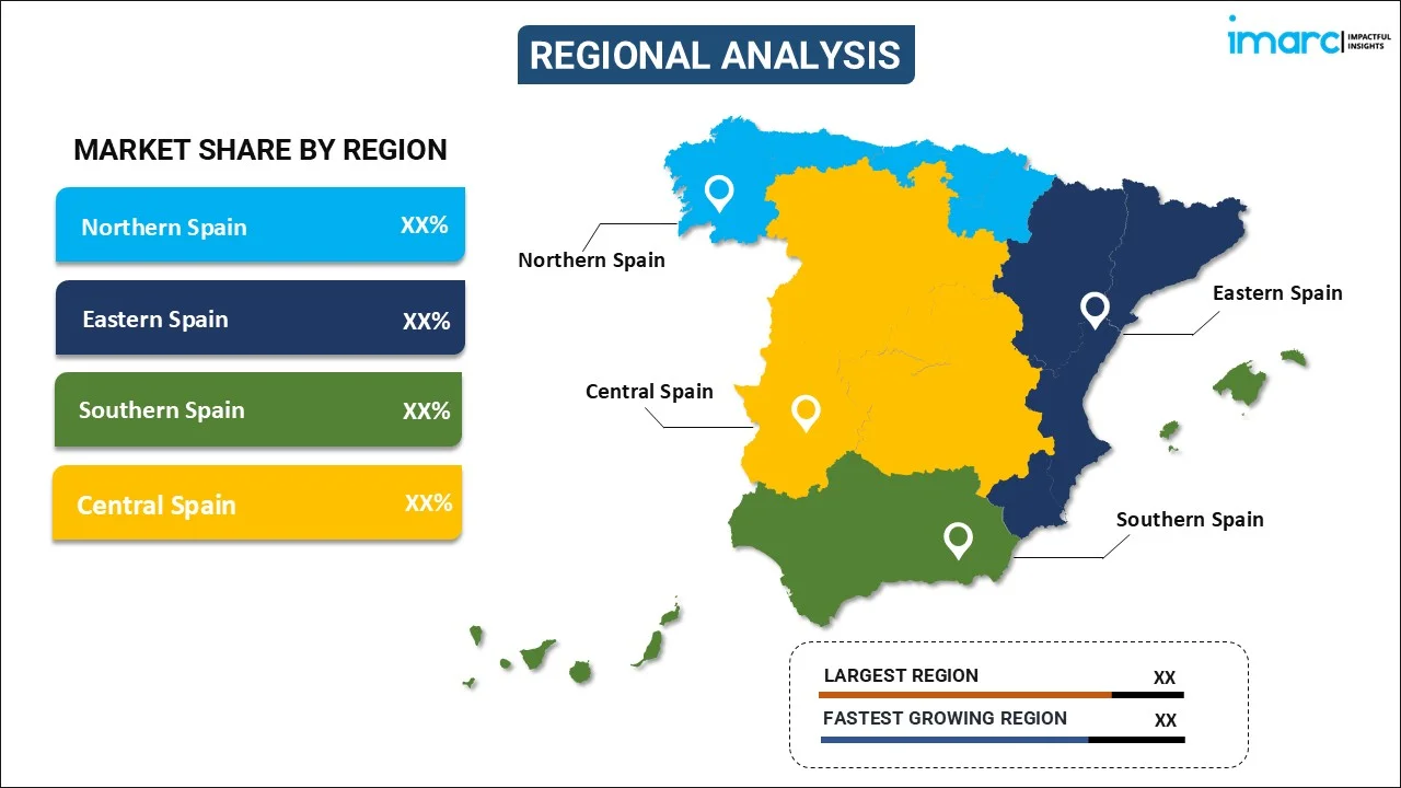
- Northern Spain
- Eastern Spain
- Southern Spain
- Central Spain
The report has also provided a comprehensive analysis of all the major regional markets, which include Northern Spain, Eastern Spain, Southern Spain, and Central Spain.
Competitive Landscape:
The market research report has also provided a comprehensive analysis of the competitive landscape. Competitive analysis such as market structure, key player positioning, top winning strategies, competitive dashboard, and company evaluation quadrant has been covered in the report. Also, detailed profiles of all major companies have been provided.
Spain Geospatial Analytics Market News:
- October 2024: Rezatec teamed up with Agforest to bring its geospatial AI platform to Spanish water utilities, improving pipeline risk management and water conservation. The partnership is a prime example of the increasing use of geospatial analytics in critical infrastructure industries, fueling market growth by demonstrating the technology's real-world applications and value.
- July 2024: CARTO, a geospatial analytics firm headquartered in Spain, launched AI Agents driven by Large Language Models (LLMs) to make spatial data analysis more accessible through a conversational interface. This new technology leads to a growth in ease of use, allowing governments and businesses to use geospatial insights without technical knowledge. Through the democratization of geospatial analytics, CARTO is fueling industry adoption in Spain, propelling market expansion.
Spain Geospatial Analytics Market Report Coverage:
| Report Features | Details |
|---|---|
| Base Year of the Analysis | 2024 |
| Historical Period | 2019-2024 |
| Forecast Period | 2025-2033 |
| Units | Billion USD |
| Scope of the Report |
Exploration of Historical Trends and Market Outlook, Industry Catalysts and Challenges, Segment-Wise Historical and Future Market Assessment:
|
| Types Covered | Surface Analysis, Network Analysis, Geovisualization |
| End Use Industries Covered | Agriculture, Utility and Communication, Defense and Intelligence, Government, Mining and Natural Resources, Automotive and Transportation, Healthcare, Real Estate and Construction, Others |
| Regions Covered | Northern Spain, Eastern Spain, Southern Spain, Central Spain |
| Customization Scope | 10% Free Customization |
| Post-Sale Analyst Support | 10-12 Weeks |
| Delivery Format | PDF and Excel through Email (We can also provide the editable version of the report in PPT/Word format on special request) |
Key Questions Answered in This Report:
- How has the Spain geospatial analytics market performed so far and how will it perform in the coming years?
- What is the breakup of the Spain geospatial analytics market on the basis of type?
- What is the breakup of the Spain geospatial analytics market on the basis of end use industry?
- What are the various stages in the value chain of the Spain geospatial analytics market?
- What are the key driving factors and challenges in the Spain geospatial analytics market?
- What is the structure of the Spain geospatial analytics market and who are the key players?
- What is the degree of competition in the Spain geospatial analytics market?
Key Benefits for Stakeholders:
- IMARC’s industry report offers a comprehensive quantitative analysis of various market segments, historical and current market trends, market forecasts, and dynamics of the Spain geospatial analytics market from 2019-2033.
- The research report provides the latest information on the market drivers, challenges, and opportunities in the Spain geospatial analytics market.
- Porter's five forces analysis assist stakeholders in assessing the impact of new entrants, competitive rivalry, supplier power, buyer power, and the threat of substitution. It helps stakeholders to analyze the level of competition within the Spain geospatial analytics industry and its attractiveness.
- Competitive landscape allows stakeholders to understand their competitive environment and provides an insight into the current positions of key players in the market.
Need more help?
- Speak to our experienced analysts for insights on the current market scenarios.
- Include additional segments and countries to customize the report as per your requirement.
- Gain an unparalleled competitive advantage in your domain by understanding how to utilize the report and positively impacting your operations and revenue.
- For further assistance, please connect with our analysts.
 Request Customization
 Speak to an Analyst
 Request Brochure
 Inquire Before Buying
Benefits of Customization
- Personalize this research
- Triangulate with your data
- Get data as per your format and definition
- Gain a deeper dive into a specific application, geography, customer, or competitor
- Any level of personalization
Get in Touch With Us
UNITED STATES
Phone: +1-201-971-6302
INDIA
Phone: +91-120-433-0800
UNITED KINGDOM
Phone: +44-753-714-6104
Email: sales@imarcgroup.com
Client Testimonials


.webp)


