
Japan Satellite Imagery Service Market Size, Share, Trends and Forecast by Application, End- User, and Region, 2026-2034
Japan Satellite Imagery Service Market Overview:
The Japan satellite imagery service market size reached USD 453.61 Million in 2025. Looking forward, IMARC Group expects the market to reach USD 1,141.67 Million by 2034, exhibiting a growth rate (CAGR) of 10.80% during 2026-2034. The Japan satellite imagery market share is expanding significantly due to rising demand for high-resolution images in defense, disaster management, infrastructure monitoring, and environmental assessment, advancements in synthetic aperture radar (SAR) technology, government investments in space surveillance, and increasing adoption of AI-driven image analysis for commercial applications.
|
Report Attribute
|
Key Statistics
|
|---|---|
|
Base Year
|
2025 |
|
Forecast Years
|
2026-2034
|
|
Historical Years
|
2020-2025
|
| Market Size in 2025 | USD 453.61 Million |
| Market Forecast in 2034 | USD 1,141.67 Million |
| Market Growth Rate (2026-2034) | 10.80% |
Japan Satellite Imagery Service Market Trends:
Growing Demand for High-Resolution Satellite Imagery in Infrastructure Development
Japan’s satellite imagery service market growth is experiencing increasing demand for high-resolution images, particularly in infrastructure development, urban planning, and disaster management. Notably, Panasonic Holdings Corporation declared on February 6, 2025, that it has been authorized to operate ten small, remote-controllable mobilities on public highways in several regions at the same time, making it the first firm in Japan to do so. By carrying out demonstration projects in multiple locations, this effort seeks to improve the productivity of robot service companies. The certification is a major step forward for the real-world implementation of remote-controlled mobility solutions in public areas. The government and private sectors are investing in satellite-based monitoring systems to assess land use, optimize construction planning, and enhance disaster preparedness. With Japan’s vulnerability to natural disasters such as earthquakes and typhoons, satellite imagery is playing a critical role in risk assessment and early warning systems. Additionally, advancements in synthetic aperture radar (SAR) technology enable enhanced imaging capabilities, even in adverse weather conditions. The growing emphasis on smart cities and environmental conservation is further driving adoption, as high-resolution satellite images provide detailed insights for sustainable urban development and resource management.
Integration of AI and Machine Learning in Satellite Data Analysis
The integration of artificial intelligence (AI) and machine learning (ML) is transforming Japan’s satellite imagery service market by automating data processing and improving image analysis accuracy. For instance, on November 12, 2024, SpaceNews emphasized on initiatives to improve data management and spacecraft autonomy. The creation of software-defined satellites with in-orbit reconfiguration capabilities—which enable dynamic modifications to beam patterns and power levels to satisfy fluctuating demands. It also highlights the need for terrestrial networks to develop and become more intelligent in order to effectively manage the growing volume of data brought about by expanding satellite communications. AI-powered algorithms enhance object detection, change detection, and predictive analytics, enabling industries such as agriculture, defense, and logistics to derive actionable insights efficiently. The Japanese government is encouraging AI-driven geospatial analysis to strengthen national security, environmental monitoring, and precision farming initiatives. Moreover, private companies are leveraging AI to develop commercial applications, including autonomous navigation, supply chain optimization, and climate monitoring. As AI and ML technologies advance, satellite imagery services in Japan are becoming more cost-effective and accessible, leading to wider adoption across various sectors that require precise and real-time geospatial data, which in turn is positively impacting the Japan satellite imagery service market outlook.
Japan Satellite Imagery Service Market Segmentation:
IMARC Group provides an analysis of the key trends in each segment of the market, along with forecasts at the country level for 2026-2034. Our report has categorized the market based on application and end-user.
Application Insights:
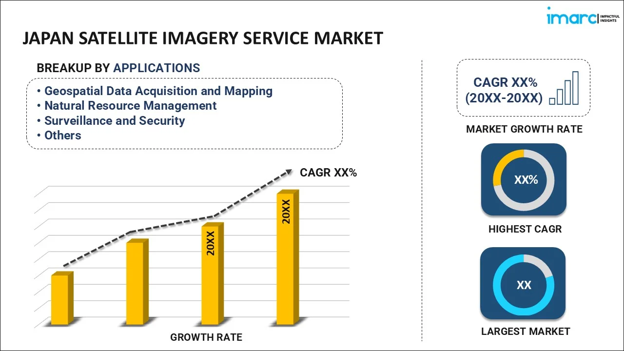
- Geospatial Data Acquisition and Mapping
- Natural Resource Management
- Surveillance and Security
- Conservation and Research
- Disaster Management
- Intelligence
The report has provided a detailed breakup and analysis of the market based on the application. This includes geospatial data acquisition and mapping, natural resource management, surveillance and security, conservation and research, disaster management, and intelligence.
End- User Insights:
- Government
- Construction
- Transportation and Logistics
- Military and Defense
- Forestry and Agriculture
- Others
A detailed breakup and analysis of the market based on the end-user have also been provided in the report. This includes government, construction, transportation and logistics, military and defense, forestry and agriculture, and others.
Regional Insights:
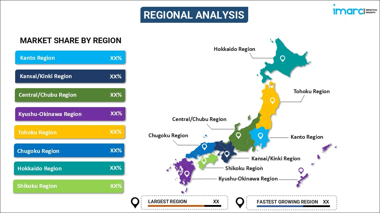
- Kanto Region
- Kansai/Kinki Region
- Central/ Chubu Region
- Kyushu-Okinawa Region
- Tohoku Region
- Chugoku Region
- Hokkaido Region
- Shikoku Region
The report has also provided a comprehensive analysis of all the major regional markets, which include Kanto Region, Kansai/Kinki Region, Central/ Chubu Region, Kyushu-Okinawa Region, Tohoku Region, Chugoku Region, Hokkaido Region and Shikoku Region.
Competitive Landscape:
The market research report has also provided a comprehensive analysis of the competitive landscape. Competitive analysis such as market structure, key player positioning, top winning strategies, competitive dashboard, and company evaluation quadrant has been covered in the report. Also, detailed profiles of all major companies have been provided.
Japan Satellite Imagery Service Market News:
- On September 26, 2024, Japan's Ministry of Defense announced that it will invest about USD 2.2 Billion on the development of a new constellation of satellites to improve space defense capabilities. In order to obtain high-resolution photos for the purpose of tracking suspicious targets in real time and keeping an eye on possible launch sites, the system will place many tiny satellites in low Earth orbit. The ministry is also asking for USD 929 Million, to create a replacement for a military communications satellite that will be retired in fiscal 2030. to a military communications satellite scheduled for retirement in fiscal 2030.
- On June 20, 2024, NEC Corporation and Ursa Space Systems established a collaboration to offer synthetic aperture radar (SAR) picture data services in Japan. By joining forces with Ursa Space's "virtual constellation," NEC's monitoring capabilities are combined to improve access to SAR imagery from various satellite providers. With cutting-edge satellite-based insights, the project seeks to assist sectors like environmental monitoring, resource exploration, infrastructure management, catastrophe avoidance, and agriculture.
Japan Satellite Imagery Service Market Report Coverage:
| Report Features | Details |
|---|---|
| Base Year of the Analysis | 2025 |
| Historical Period | 2020-2025 |
| Forecast Period | 2026-2034 |
| Units | Million USD |
| Scope of the Report |
Exploration of Historical Trends and Market Outlook, Industry Catalysts and Challenges, Segment-Wise Historical and Future Market Assessment
|
| Applications Covered | Geospatial Data Acquisition and Mapping, Natural Resource Management, Surveillance and Security, Conservation and Research, Disaster Management, Intelligence |
| End- Users Covered | Government, Construction, Transportation and Logistics , Military and Defense, Forestry and Agriculture, Others |
| Regions Covered | Kanto Region, Kansai/Kinki Region, Central/ Chubu Region, Kyushu-Okinawa Region, Tohoku Region, Chugoku Region, Hokkaido Region, Shikoku Region |
| Customization Scope | 10% Free Customization |
| Post-Sale Analyst Support | 10-12 Weeks |
| Delivery Format | PDF and Excel through Email (We can also provide the editable version of the report in PPT/Word format on special request) |
Key Questions Answered in This Report:
- How has the Japan satellite imagery service market performed so far and how will it perform in the coming years?
- What is the breakup of the Japan satellite imagery service market on the basis of application?
- What is the breakup of the Japan satellite imagery service market on the basis of end-user?
- What are the various stages in the value chain of the Japan satellite imagery service market?
- What are the key driving factors and challenges in the Japan satellite imagery service market?
- What is the structure of the Japan satellite imagery service market and who are the key players?
- What is the degree of competition in the Japan satellite imagery service market?
Key Benefits for Stakeholders:
- IMARC’s industry report offers a comprehensive quantitative analysis of various market segments, historical and current market trends, market forecasts, and dynamics of the Japan satellite imagery service market from 2020-2034.
- The research report provides the latest information on the market drivers, challenges, and opportunities in the Japan satellite imagery service market.
- Porter's five forces analysis assist stakeholders in assessing the impact of new entrants, competitive rivalry, supplier power, buyer power, and the threat of substitution. It helps stakeholders to analyze the level of competition within the Japan satellite imagery service industry and its attractiveness.
- Competitive landscape allows stakeholders to understand their competitive environment and provides an insight into the current positions of key players in the market.
Need more help?
- Speak to our experienced analysts for insights on the current market scenarios.
- Include additional segments and countries to customize the report as per your requirement.
- Gain an unparalleled competitive advantage in your domain by understanding how to utilize the report and positively impacting your operations and revenue.
- For further assistance, please connect with our analysts.
 Request Customization
 Speak to an Analyst
 Request Brochure
 Inquire Before Buying
Benefits of Customization
- Personalize this research
- Triangulate with your data
- Get data as per your format and definition
- Gain a deeper dive into a specific application, geography, customer, or competitor
- Any level of personalization
Get in Touch With Us
UNITED STATES
Phone: +1-201-971-6302
INDIA
Phone: +91-120-433-0800
UNITED KINGDOM
Phone: +44-753-714-6104
Email: sales@imarcgroup.com
Client Testimonials


.webp)


