
Japan Aerial Imaging Market Report by Aircraft Type (Fixed-Wing Aircraft, Helicopters, UAVs/Drones, and Others), Camera Orientation (Vertical, Oblique), Application (Geospatial Mapping, Infrastructure Planning, Asset Inventory Management, Environmental Monitoring, National and Urban Mapping, Surveillance and Monitoring, Disaster Management, and Others), End Use Sector (Government, Energy, Defense, Agriculture and Forestry, Construction and Archaeology, Media and Entertainment, and Others), and Region 2026-2034
Market Overview:
Japan aerial imaging market size reached USD 191.1 Million in 2025. Looking forward, IMARC Group expects the market to reach USD 360.7 Million by 2034, exhibiting a growth rate (CAGR) of 7.32% during 2026-2034. The continuous advancements in imaging technology, including higher resolution cameras, LiDAR sensors, and multispectral sensors, which have made aerial imaging more accurate and capable of capturing detailed and valuable data, are driving the market.
|
Report Attribute
|
Key Statistics
|
|---|---|
|
Base Year
|
2025
|
|
Forecast Years
|
2026-2034
|
|
Historical Years
|
2020-2025
|
| Market Size in 2025 | USD 191.1 Million |
| Market Forecast in 2034 | USD 360.7 Million |
| Market Growth Rate 2026-2034 | 7.32% |
Access the full market insights report Request Sample
Aerial imaging refers to the process of capturing images or data from an elevated perspective, typically from aircraft or drones. This technique has a wide range of applications across various industries, including agriculture, urban planning, environmental monitoring, and more. Aerial imaging systems often use cameras or sensors mounted on airborne platforms to capture high-resolution photographs, videos, or other data. These images provide valuable insights into landscapes, infrastructure, and natural resources, aiding in tasks such as crop monitoring, disaster assessment, and land surveying. Advantages of aerial imaging include rapid data collection over large areas, improved spatial resolution, and the ability to access remote or inaccessible locations. It has revolutionized fields like cartography, allowing for more accurate mapping and supporting disaster management by providing real-time information during crises. In recent years, advancements in technology have made aerial imaging more accessible and cost-effective, enabling its integration into various applications for better decision-making and resource management.
Japan Aerial Imaging Market Trends:
The aerial imaging market in Japan is experiencing remarkable growth, primarily driven by several key factors. To begin with, advancements in technology have revolutionized the way aerial imagery is captured and processed. Coupled with the increasing availability of high-resolution satellite imagery, this has spurred the demand for aerial imaging services. Furthermore, the growing need for geospatial data across various industries, including agriculture, urban planning, and disaster management, has provided a significant impetus to the market's expansion. Moreover, the advent of unmanned aerial vehicles (UAVs) or drones has opened up new opportunities in aerial imaging, offering cost-effective and flexible solutions for capturing imagery in remote or hard-to-reach areas. Additionally, the rising adoption of aerial imaging in sectors such as construction, real estate, and environmental monitoring has added to the market's momentum. Furthermore, government initiatives and regulations promoting the use of aerial imaging for infrastructure development and environmental conservation have bolstered the market's growth prospects. In conclusion, the confluence of technological advancements, expanding applications, and supportive regulatory frameworks make the aerial imaging market in Japan an attractive and rapidly evolving industry with a promising future.
Japan Aerial Imaging Market Segmentation:
IMARC Group provides an analysis of the key trends in each segment of the market, along with forecasts at the country level for 2026-2034. Our report has categorized the market based on aircraft type, camera orientation, application, and end use sector.
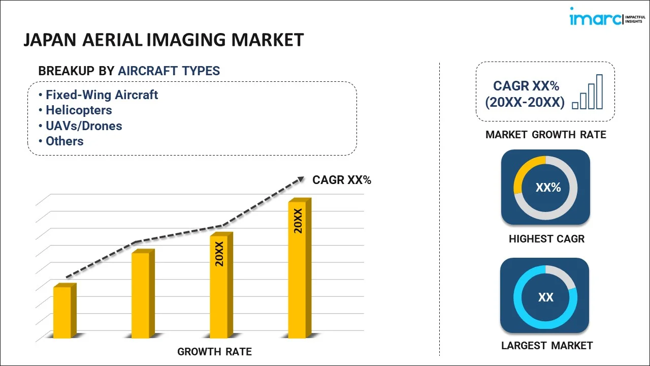
Aircraft Type Insights:
To get detailed segment analysis of this market Request Sample
- Fixed-Wing Aircraft
- Helicopters
- UAVs/Drones
- Others
The report has provided a detailed breakup and analysis of the market based on the aircraft type. This includes fixed-wing aircraft, helicopters, UAVs/drones, and others.
Camera Orientation Insights:
- Vertical
- Oblique
- High Oblique
- Low Oblique
A detailed breakup and analysis of the market based on the camera orientation have also been provided in the report. This includes vertical and oblique (high oblique and low oblique).
Application Insights:
- Geospatial Mapping
- Infrastructure Planning
- Asset Inventory Management
- Environmental Monitoring
- National and Urban Mapping
- Surveillance and Monitoring
- Disaster Management
- Others
The report has provided a detailed breakup and analysis of the market based on the application. This includes geospatial mapping, infrastructure planning, asset inventory management, environmental monitoring, national and urban mapping, surveillance and monitoring, disaster management, and others.
End Use Sector Insights:
- Government
- Energy
- Defense
- Agriculture and Forestry
- Construction and Archaeology
- Media and Entertainment
- Others
A detailed breakup and analysis of the market based on the end use sector have also been provided in the report. This includes government, energy, defense, agriculture and forestry, construction and archaeology, media and entertainment, and others.
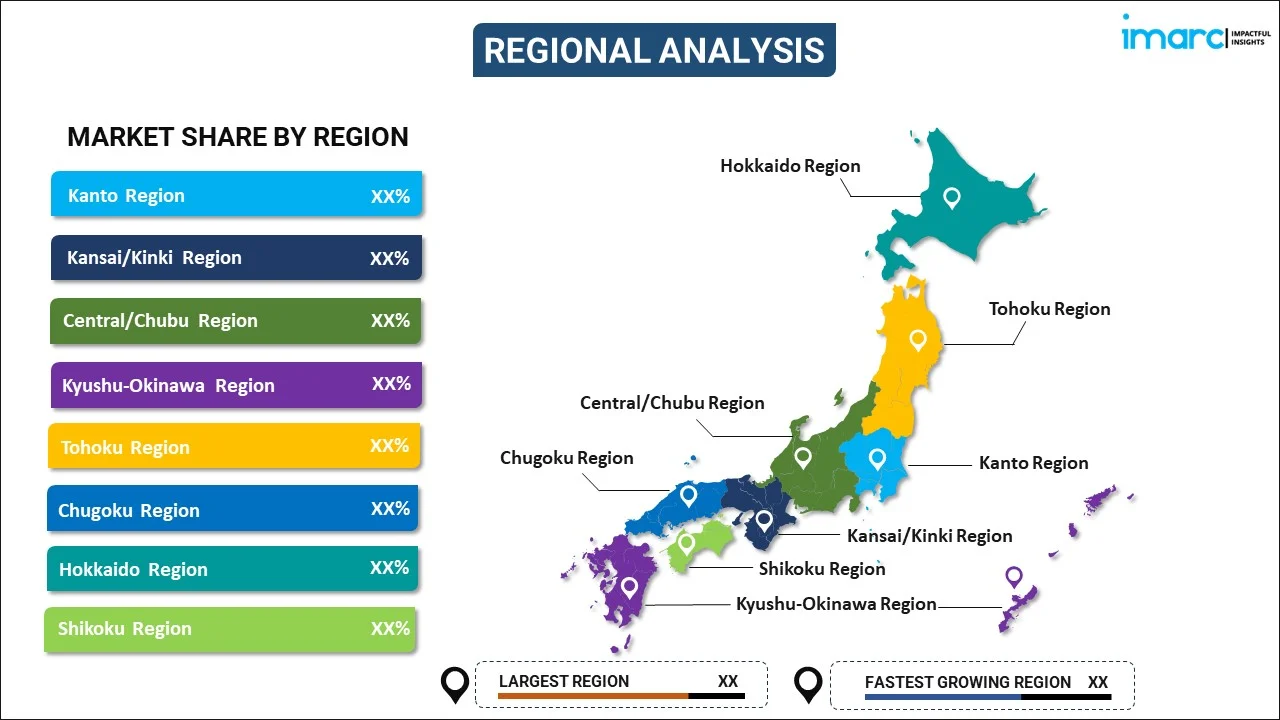
Regional Insights:
To get detailed regional analysis of this market Request Sample
- Kanto Region
- Kansai/Kinki Region
- Central/ Chubu Region
- Kyushu-Okinawa Region
- Tohoku Region
- Chugoku Region
- Hokkaido Region
- Shikoku Region
The report has also provided a comprehensive analysis of all the major regional markets, which include Kanto Region, Kansai/Kinki Region, Central/Chubu Region, Kyushu-Okinawa Region, Tohoku Region, Chugoku Region, Hokkaido Region, and Shikoku Region.
Competitive Landscape:
The market research report has also provided a comprehensive analysis of the competitive landscape. Competitive analysis such as market structure, key player positioning, top winning strategies, competitive dashboard, and company evaluation quadrant has been covered in the report. Also, detailed profiles of all major companies have been provided.
Japan Aerial Imaging Market Report Coverage:
| Report Features | Details |
|---|---|
| Base Year of the Analysis | 2025 |
| Historical Period | 2020-2025 |
| Forecast Period | 2026-2034 |
| Units | Million USD |
| Scope of the Report | Exploration of Historical and Forecast Trends, Industry Catalysts and Challenges, Segment-Wise Historical and Predictive Market Assessment:
|
| Aircraft Types Covered | Fixed-Wing Aircraft, Helicopters, UAVs/Drones, Others |
| Camera Orientations Covered |
|
| Applications Covered | Geospatial Mapping, Infrastructure Planning, Asset Inventory Management, Environmental Monitoring, National and Urban Mapping, Surveillance and Monitoring, Disaster Management, Others |
| End Use Sectors Covered | Government, Energy, Defense, Agriculture and Forestry, Construction and Archaeology, Media and Entertainment, Others |
| Regions Covered | Kanto Region, Kansai/Kinki Region, Central/ Chubu Region, Kyushu-Okinawa Region, Tohoku Region, Chugoku Region, Hokkaido Region, Shikoku Region |
| Customization Scope | 10% Free Customization |
| Post-Sale Analyst Support | 10-12 Weeks |
| Delivery Format | PDF and Excel through Email (We can also provide the editable version of the report in PPT/Word format on special request) |
Key Questions Answered in This Report:
- How has the Japan aerial imaging market performed so far and how will it perform in the coming years?
- What has been the impact of COVID-19 on the Japan aerial imaging market?
- What is the breakup of the Japan aerial imaging market on the basis of aircraft type?
- What is the breakup of the Japan aerial imaging market on the basis of camera orientation?
- What is the breakup of the Japan aerial imaging market on the basis of application?
- What is the breakup of the Japan aerial imaging market on the basis of end use sector?
- What are the various stages in the value chain of the Japan aerial imaging market?
- What are the key driving factors and challenges in the Japan aerial imaging?
- What is the structure of the Japan aerial imaging market and who are the key players?
- What is the degree of competition in the Japan aerial imaging market?
Key Benefits for Stakeholders:
- IMARC’s industry report offers a comprehensive quantitative analysis of various market segments, historical and current market trends, market forecasts, and dynamics of the Japan aerial imaging market from 2020-2034.
- The research report provides the latest information on the market drivers, challenges, and opportunities in the Japan aerial imaging market.
- Porter's five forces analysis assist stakeholders in assessing the impact of new entrants, competitive rivalry, supplier power, buyer power, and the threat of substitution. It helps stakeholders to analyze the level of competition within the Japan aerial imaging industry and its attractiveness.
- Competitive landscape allows stakeholders to understand their competitive environment and provides an insight into the current positions of key players in the market.
Need more help?
- Speak to our experienced analysts for insights on the current market scenarios.
- Include additional segments and countries to customize the report as per your requirement.
- Gain an unparalleled competitive advantage in your domain by understanding how to utilize the report and positively impacting your operations and revenue.
- For further assistance, please connect with our analysts.
 Request Customization
 Speak to an Analyst
 Request Brochure
 Inquire Before Buying
Benefits of Customization
- Personalize this research
- Triangulate with your data
- Get data as per your format and definition
- Gain a deeper dive into a specific application, geography, customer, or competitor
- Any level of personalization
Get in Touch With Us
UNITED STATES
Phone: +1-201-971-6302
INDIA
Phone: +91-120-433-0800
UNITED KINGDOM
Phone: +44-753-714-6104
Email: sales@imarcgroup.com
Client Testimonials


.webp)


