
GIS in Telecom Sector Market Report by Type (Software, Services), Deployment Model (Cloud-based, On-premises), End User (Large Enterprises, Small and Medium-sized Enterprises (SMEs)), and Region 2025-2033
Market Overview:
The global GIS in telecom sector market size reached USD 2.5 Billion in 2024. Looking forward, IMARC Group expects the market to reach USD 5.6 Billion by 2033, exhibiting a growth rate (CAGR) of 8.79% during 2025-2033. The increasing demand for asset management, the increasing focus on improving customer experience and service improvement, and the integration of GIS with telecom systems, such as network management systems represent some of the key factors driving the market.
|
Report Attribute
|
Key Statistics
|
|---|---|
|
Base Year
|
2024
|
|
Forecast Years
|
2025-2033
|
|
Historical Years
|
2019-2024
|
|
Market Size in 2024
|
USD 2.5 Billion |
|
Market Forecast in 2033
|
USD 5.6 Billion |
| Market Growth Rate 2025-2033 | 8.79% |
GIS is a powerful technology that combines geographic data with analytical tools to visualize, analyze, and interpret spatial information. It helps in mapping and spatially analyzing the location of telecommunication assets such as cell towers, fiber optic cables, and network equipment. By integrating GIS with other telecom systems, operators can efficiently track and manage their assets, monitor network performance, and identify areas of potential network congestion or coverage gaps. It also aids in identifying suitable locations for new infrastructure deployment, considering factors such as population density, terrain, and existing infrastructure. Additionally, it assists in network optimization by enabling operators to analyze network data and identify opportunities for improving coverage, capacity, and quality of service. It also supports decision-making processes by providing visual representations of network data, facilitating the identification of network bottlenecks, and aiding in the planning of network expansion or upgrades.
GIS in Telecom Sector Market Trends:
The growing demand for network planning and optimization is driving the global market. Moreover, the increasing demand for asset management is catalyzing the market for GIS in the telecom sector as it allows operators to track and maintain accurate records of asset locations, conditions, and attributes which further improves operational efficiency, reduces maintenance costs, and ensures timely asset upgrades or replacements. Along with this, the increasing focus on improving customer experience and service improvement is also anticipating the market as GIS helps in understanding the spatial distribution of customers, their usage patterns, and the quality of service in different areas. Additionally, GIS helps telecom operators analyze market demographics, customer behavior, and competitor presence in different geographical areas. This is creating a positive market outlook. The rising deployment of 5G networks across the globe is acting as another growth-inducing factor, as GIS plays a crucial role in determining the best placement of small cells, base stations, and backhaul connections. Furthermore, the expanding smart city initiatives are also influencing the demand for GIS as it assists in integrating telecommunications infrastructure with other smart city components, such as transportation, energy, and public safety systems. Apart from this, the integration of GIS with telecom systems, such as network management systems, customer relationship management (CRM) systems, and billing systems, is impacting the market as it enables a holistic view of network operations, customer data, and financial metrics, resulting in streamlined workflows and enhanced operational efficiency.
Key Market Segmentation:
IMARC Group provides an analysis of the key trends in each segment of the global GIS in telecom Sector market, along with forecasts at the global, regional, and country levels from 2025-2033. Our report has categorized the market based on type, deployment model, and end user.
Type Insights:
- Software
- Services
The report has provided a detailed breakup and analysis of the GIS in telecom sector market based on the type. This includes software and services. According to the report, software exhibited a clear dominance in the market.
Deployment Model Insights:
- Cloud-based
- On-premises
A detailed breakup and analysis of the GIS in telecom sector market based on the deployment model has also been provided in the report. This includes cloud-based, and on-premises. According to the report, on-premises exhibited a clear dominance in the market.
End User Insights
- Large Enterprises
- Small and Medium-sized Enterprises (SMEs)
A detailed breakup and analysis of the GIS in telecom sector market based on the end user has also been provided in the report. This includes large enterprises, and medium-sized enterprises (SMEs). According to the report, large enterprises exhibited a clear dominance in the market.
Regional Insights:
- North America
- United States
- Canada
- Asia Pacific
- China
- Japan
- India
- South Korea
- Australia
- Indonesia
- Others
- Europe
- Germany
- France
- United Kingdom
- Italy
- Spain
- Russia
- Others
- Latin America
- Brazil
- Mexico
- Others
- Middle East and Africa
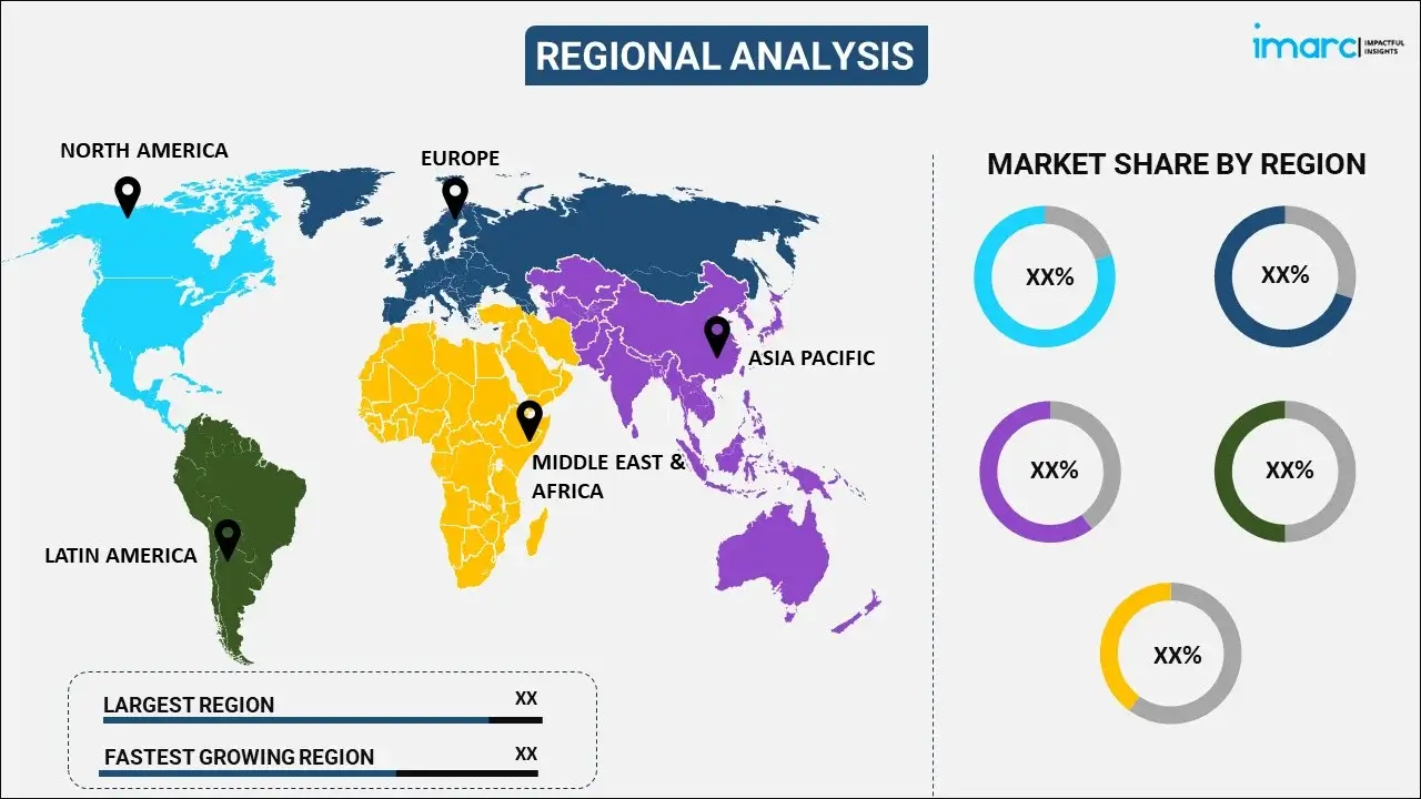
The report has also provided a comprehensive analysis of all the major regional markets, which include North America (the United States and Canada); Asia Pacific (China, Japan, India, South Korea, Australia, Indonesia, and others); Europe (Germany, France, the United Kingdom, Italy, Spain, Russia, and others); Latin America (Brazil, Mexico, and others); and the Middle East and Africa. According to the report, North America exhibited a clear dominance in the market. Some of the factors driving the North America GIS in telecom sector market included expanding internet access in rural areas, the proliferation of IoT devices and applications, and enhanced field operations.
Competitive Landscape:
The report has also provided a comprehensive analysis of the competitive landscape in the global GIS in telecom sector market. Detailed profiles of all major companies have been provided. Some of the companies covered include Bentley Systems Incorporated, Blue Marble Geographics, Cyient, Esri Inc., GE Digital (General Electric Company), Hexagon AB, Maxar Technologies Inc., RMSI Private Limited, Schneider Electric SE, SuperMap Software Co. Ltd., Trimble Inc. etc. Kindly note that this only represents a partial list of companies, and the complete list has been provided in the report.
Report Coverage:
| Report Features | Details |
|---|---|
| Base Year of the Analysis | 2024 |
| Historical Period | 2019-2024 |
| Forecast Period | 2025-2033 |
| Units | Billion USD |
| Scope of the Report | Exploration of Historical and Forecast Trends, Industry Catalysts and Challenges, Segment-Wise Historical and Predictive Market Assessment:
|
| Types Covered | Software, Services |
| Deployment Models Covered | Cloud-based, On-premises |
| End User Covered | Large Enterprises, Small and Medium-sized Enterprises (SMEs) |
| Regions Covered | Asia Pacific, Europe, North America, Latin America, Middle East and Africa |
| Countries Covered | United States, Canada, Germany, France, United Kingdom, Italy, Spain, Russia, China, Japan, India, South Korea, Australia, Indonesia, Brazil, Mexico |
| Companies Covered | Bentley Systems Incorporated, Blue Marble Geographics, Cyient, Esri Inc., GE Digital (General Electric Company), Hexagon AB, Maxar Technologies Inc., RMSI Private Limited, Schneider Electric SE, SuperMap Software Co. Ltd., Trimble Inc. etc. |
| Customization Scope | 10% Free Customization |
| Post-Sale Analyst Support | 10-12 Weeks |
| Delivery Format | PDF and Excel through Email (We can also provide the editable version of the report in PPT/Word format on special request) |
Key Questions Answered in This Report:
- How has the global GIS in telecom sector market performed so far, and how will it perform in the coming years?
- What are the drivers, restraints, and opportunities in the global GIS in telecom sector market?
- What is the impact of each driver, restraint, and opportunity on the global GIS in telecom sector market?
- What are the key regional markets?
- Which countries represent the most attractive GIS in telecom Sector market?
- What is the breakup of the market based on the type?
- Which is the most attractive type in the GIS in telecom sector market?
- What is the breakup of the market based on the deployment model?
- Which is the most attractive deployment model in the GIS in telecom sector market?
- What is the breakup of the market based on the end user?
- Which is the most attractive end user in the GIS in telecom sector market?
- What is the competitive structure of the global GIS in telecom sector market?
- Who are the key players/companies in the global GIS in telecom sector market?
Key Benefits for Stakeholders:
- IMARC’s report offers a comprehensive quantitative analysis of various market segments, historical and current market trends, market forecasts, and dynamics of the GIS in telecom sector market from 2019-2033.
- The research study provides the latest information on the market drivers, challenges, and opportunities in the global GIS in telecom sector market.
- The study maps the leading, as well as the fastest-growing, regional markets. It further enables stakeholders to identify the key country-level markets within each region.
- Porter's five forces analysis assist stakeholders in assessing the impact of new entrants, competitive rivalry, supplier power, buyer power, and the threat of substitution. It helps stakeholders to analyze the level of competition within the GIS in telecom sector industry and its attractiveness.
- Competitive landscape allows stakeholders to understand their competitive environment and provides an insight into the current positions of key players in the market.
Need more help?
- Speak to our experienced analysts for insights on the current market scenarios.
- Include additional segments and countries to customize the report as per your requirement.
- Gain an unparalleled competitive advantage in your domain by understanding how to utilize the report and positively impacting your operations and revenue.
- For further assistance, please connect with our analysts.
 Request Customization
 Speak to an Analyst
 Request Brochure
 Inquire Before Buying
Benefits of Customization
- Personalize this research
- Triangulate with your data
- Get data as per your format and definition
- Gain a deeper dive into a specific application, geography, customer, or competitor
- Any level of personalization
Get in Touch With Us
UNITED STATES
Phone: +1-201-971-6302
INDIA
Phone: +91-120-433-0800
UNITED KINGDOM
Phone: +44-753-714-6104
Email: sales@imarcgroup.com
Client Testimonials


.webp)


