
GCC Satellite Imagery Services Market Size, Share, Trends and Forecast by Application, End-User, and Country, 2025-2033
GCC Satellite Imagery Services Market Size and Share:
The GCC satellite imagery services market size was valued at USD 151.58 Million in 2024. Looking forward, IMARC Group estimates the market to reach USD 437.54 Million by 2033, exhibiting a CAGR of 11.60% from 2025-2033. The GCC satellite imagery services market is growing due to the rising product demand in infrastructure, defense, and environmental monitoring. Regional investments in space programs and advanced imaging technologies support diverse applications, including urban planning and border security. Furthermore, increasing reliance on high-resolution data highlights the market’s strategic importance in achieving the region’s development goals.
|
Report Attribute
|
Key Statistics
|
|---|---|
|
Base Year
|
2024
|
|
Forecast Years
|
2025-2033
|
|
Historical Years
|
2019-2024
|
| Market Size in 2024 | USD 151.58 Million |
| Market Forecast in 2033 | USD 437.54 Million |
| Market Growth Rate (2025-2033) | 11.60% |
The GCC satellite imagery services market is driven by the region’s growing focus on infrastructure development and urban planning. With ambitious projects like Saudi Arabia’s NEOM and the UAE’s smart city initiatives, satellite imagery plays a crucial role in monitoring construction progress, optimizing land use, and managing resources effectively. High-resolution imagery aids in assessing terrain, identifying potential challenges, and ensuring sustainable development. For instance, in November 2024, Soar's satellite imagery revealed excavation progress, tunnel entrances, and Neolithic sites at Saudi Arabia’s The Line, aiding construction planning for the 170km-long city designed for 9 million residents. Furthermore, governments in the region increasingly rely on these services to support large-scale projects, aligning with their long-term economic and strategic goals, including Vision 2030 initiatives.
Another key driver is the expanding use of satellite imagery in defense, security, and disaster management. GCC countries face unique challenges related to border surveillance, maritime security, and emergency response. Satellite imaging provides real-time data, enabling swift decision-making and enhanced situational awareness. Integration with AI-powered analytics further enhances the accuracy and efficiency of surveillance and threat detection. For instance, SpaceKnow and Front End Limited launched SpaceGuardian in Saudi Arabia at IPTC 2024. SpaceGuardian uses AI and machine learning to analyze satellite imagery for applications in energy, environment, construction, and economic activity. It provides real-time monitoring, urban planning insights, and traffic management solutions. Furthermore, these developments reflect the strategic importance of satellite imagery in addressing security concerns and enhancing resilience across the region.
GCC Satellite Imagery Services Market Trends:
Growing Demand for Geospatial Analytics
The GCC region is witnessing a surge in demand for satellite imagery services due to the increasing adoption of geospatial analytics in sectors like urban planning, infrastructure development, and environmental monitoring. Governments and private entities are leveraging high-resolution satellite data to optimize resource management and enhance decision-making. For instance, in 2024, TAQNIA ETS joined Neo Space Group (NSG) as NSG Geospatial Services, enhancing geospatial capabilities and advancing Saudi Arabia’s Vision 2030 space technology and economic development objectives. The rising focus on smart city initiatives across the region, particularly in Saudi Arabia and the UAE, further boosts the integration of satellite imagery in urban development projects.
Expanding Use in Defense and Security
The defense and security sector in the GCC is a key driver of growth in satellite imagery services. With increasing concerns over border security, surveillance, and disaster response, governments in the region are investing in high-resolution satellite imaging capabilities. For instance, in September 2024, UAE defense conglomerate Edge launched Fada, a space company focused on manufacturing Earth observation satellites, developing the Sirb constellation, and offering cybersecurity solutions. These services provide real-time monitoring, enabling swift responses to potential threats and improving situational awareness. The integration of satellite imagery with artificial intelligence and machine learning tools enhances data analysis, making defense operations more efficient. This trend underscores the strategic importance of satellite imagery in safeguarding the region’s geopolitical stability and addressing complex security challenges.
Rising Investments in Space Programs
GCC countries are significantly increasing investments in space programs to boost satellite imaging capabilities and align with strategic goals like the UAE’s National Space Program and Saudi Arabia’s Vision 2030. These initiatives include developing and deploying indigenous satellites. For instance, in August 2024, Bayanat AI PLC and Yahsat successfully launched the UAE’s first LEO SAR satellite, advancing Earth Observation capabilities and supporting the UAE’s National Space Strategy 2030. Such investments reflect the region’s ambition to lead in the global space economy while fostering innovation, enhancing self-reliance in satellite technologies, and driving economic diversification through advanced geospatial solutions tailored to regional and global needs.
GCC Satellite Imagery Services Industry Segmentation:
IMARC Group provides an analysis of the key trends in each segment of the GCC satellite imagery services market, along with forecasts at the regional and country levels from 2025-2033. The market has been categorized based on application and end-user.
Analysis by Application:
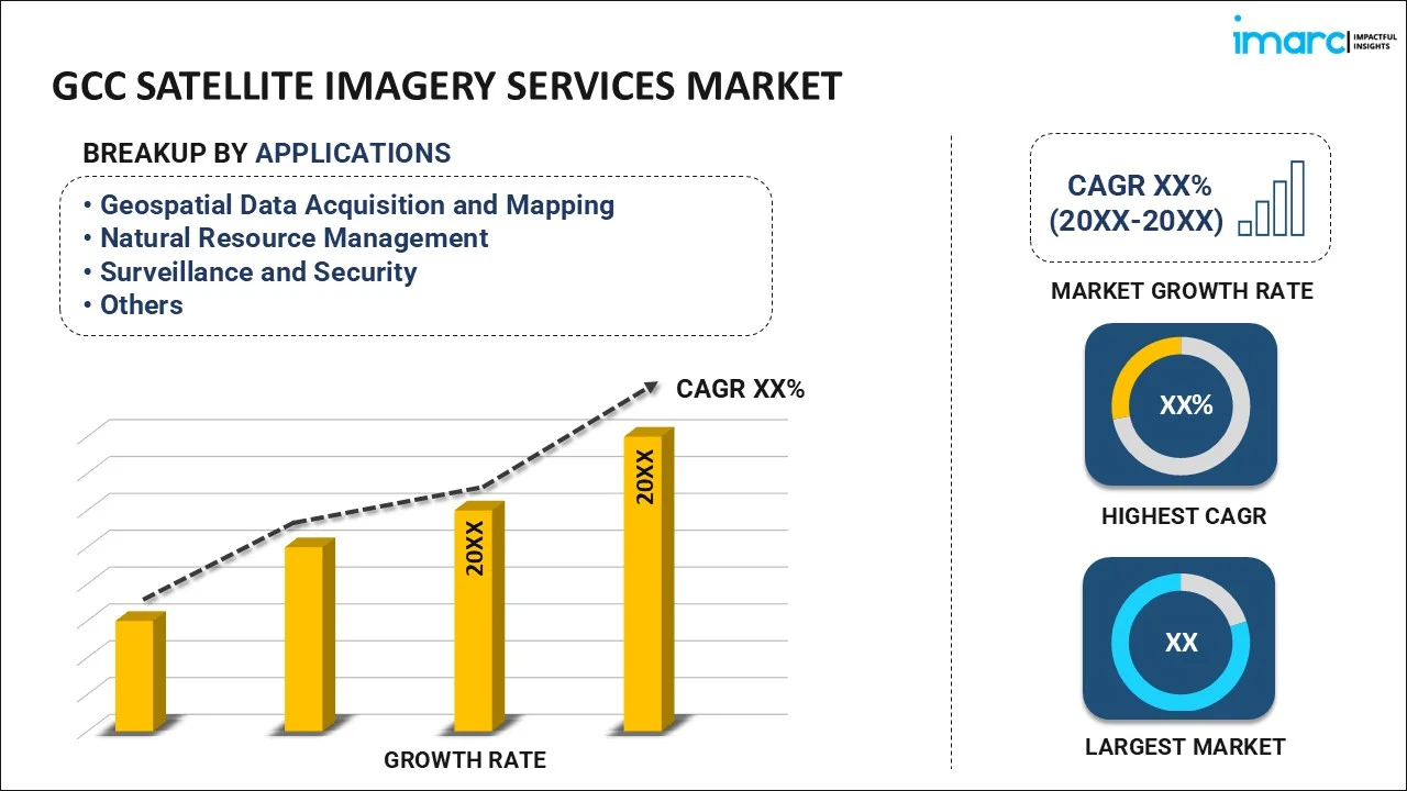
- Geospatial Data Acquisition and Mapping
- Natural Resource Management
- Surveillance and Security
- Conservation and Research
- Disaster Management
- Intelligence
Geospatial data acquisition and mapping is the leading application segment in the GCC satellite imagery market, driven by its critical role in infrastructure development, urban planning, and environmental monitoring. For instance, in October 2024, Mappable partnered with Fujairah GIS Center, Emirates Transport, and Emarat to advance UAE infrastructure, navigation, and logistics, boosting the USD 2.15 billion GIS market. Through its MoU with Fujairah GIS Center, Mappable will integrate geospatial solutions to improve real-time mapping data accuracy, supporting urban planning and enhanced system efficiency. In addition, governments and enterprises rely on high-resolution imagery for precise land use analysis, resource management, and disaster response. Enhanced satellite technologies enable accurate mapping, fostering demand across industries such as construction, oil and gas, and agriculture. Its strategic importance in planning and decision-making solidifies geospatial data acquisition and mapping as a cornerstone of the region's satellite imagery market.
Analysis by End-User:
- Government
- Construction
- Transportation and Logistics
- Military and Defense
- Forestry and Agriculture
- Others
The government sector is the leading end-user segment in the GCC satellite imagery market, driven by its extensive applications in defense, surveillance, urban planning, and disaster management. Governments leverage high-resolution satellite data to monitor borders, manage infrastructure projects, and assess environmental changes. The increasing focus on national security, smart city initiatives, and sustainable development has amplified demand for advanced satellite imaging solutions. Moreover, government investments in space programs and partnerships in research have further strengthened the segment's dominance. For instance, in July 2024, the U.S. and Saudi Arabia collaborated on civilian space research and exploration, signing a framework for cooperation in aeronautics, education, and Earth science, aligning with Saudi Arabia’s Vision 2030 to modernize its economy and diversify revenue streams.
The military and defense sector dominates the GCC satellite imagery market, utilizing advanced satellite data for border surveillance, threat detection, and strategic planning. High-resolution imagery supports real-time intelligence, ensuring effective decision-making in national security operations. The rising geopolitical complexities in the region drive investments in satellite technologies to strengthen defense capabilities. For instance, in October 2024, Yahsat and Bayanat united to form Space42, focusing on vertical integration and expanding regional and international opportunities in geospatial solutions, mobility, satellite communications, and business intelligence. Satellite imagery is also vital for monitoring infrastructure and tracking illicit activities, such as smuggling and unauthorized border crossings. This reliance on satellite technology positions the military and defense sector as the leading end-user segment.
Country Analysis:
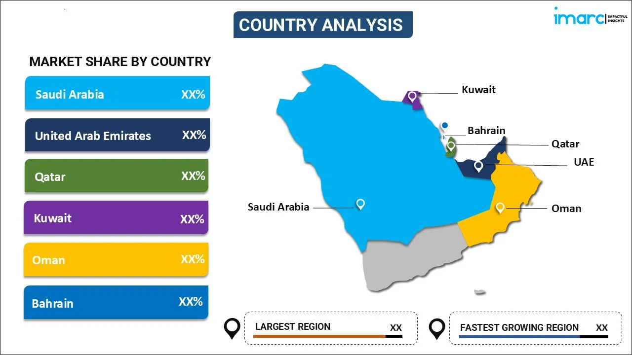
- Saudi Arabia
- UAE
- Qatar
- Kuwait
- Oman
- Bahrain
Saudi Arabia dominates the GCC satellite imagery market, supported by significant investments in space technology and national development projects. The country leverages satellite imagery for applications in urban planning, infrastructure development, and environmental monitoring, aligning with Vision 2030 initiatives. For instance, in April 2024, the World Economic Forum partnered with Saudi Space Agency to establish the Centre for Space Futures, focusing on global space innovation, sustainability, collaboration, and advancing the goals of Saudi Vision 2030 through strategic association. Additionally, partnerships with global space organizations and advancements in local satellite capabilities enhance its market position. The strategic focus on smart cities and digital transformation further fuels growth, solidifying Saudi Arabia as a leader in utilizing satellite imagery across critical industries and governmental projects.
Key Regional Takeaways:
Saudi Arabia Satellite Imagery Services Market Analysis
The Saudi Arabia satellite imagery services market is growing, driven by investments in space programs under Vision 2030. These advancements support critical sectors like agriculture, water management, urban planning, and defense. For instance, in August 2024, LuxCarta developed a unique process for automatic wall extraction from satellite imagery, successfully tested in Saudi Arabia. This technology enhances urban mapping by accurately identifying walls and fences, supporting various sectors. The integration of satellite imagery with AI and data analytics enhances real-time monitoring and decision-making. The government’s focus on fostering indigenous satellite technologies reduces reliance on international providers and promotes innovation. These efforts align with Saudi Arabia’s economic diversification and sustainable development goals, positioning the nation as a competitive player in the global satellite imagery services market while addressing both national and regional needs effectively.
UAE Satellite Imagery Services Market Analysis
The UAE satellite imagery services market is growing steadily, driven by investments under the National Space Strategy 2030. Applications span sectors such as agriculture, urban planning, energy, and disaster management, benefiting from advanced geospatial analytics and AI technologies. The government’s focus on fostering local talent and developing indigenous satellite systems supports real-time monitoring and decision-making. For instance, in January 2024, the UAE strengthened its space exploration efforts by joining the Lunar Gateway project, launching MBZ-SAT, and advancing key initiatives such as the Sarb radar satellite and asteroid belt exploration. Strategic collaborations with global space technology providers further enhance the UAE's capabilities, reinforcing its position as a regional leader in satellite imaging. Furthermore, these efforts align with the nation’s goals of sustainable development, innovation, and economic diversification, ensuring robust growth for the market.
Competitive Landscape:
The GCC satellite imagery services market features a competitive landscape driven by the presence of global players and increasing regional investments in space technology. Companies focus on high-resolution imaging, real-time data delivery, and advanced analytics to cater to sectors like defense, urban planning, and environmental monitoring. Moreover, partnerships and collaborations between international firms and regional governments further enhance market capabilities. For instance, in May 2024, Saudi Arabia’s Neo Space Group (NSG) acquired Airbus’ UP42 platform, enhancing geospatial capabilities and supporting Vision 2030. This integration delivers innovative solutions for industries like agriculture, urban planning, and disaster management, reflecting the region’s drive for technological leadership and strategic development.
The report provides a comprehensive analysis of the competitive landscape in the GCC satellite imagery services market with detailed profiles of all major companies, including:
- Airbus SE
- Genesys International Corporation Ltd
- Hexagon AB
- RMSI Private Limited
- Maxar Technologies Holdings Inc.
- Rolta Incorporated
- Planet Labs PBC
- L3Harris Technologies, Inc.
- Satellite Imaging Corporation
- Ursa Space Systems, Inc.
Latest News and Developments:
- In December 2024, Space42, a UAE-based space technology company, partnered with Finnish firm ICEYE to manufacture SAR satellites in Abu Dhabi. The venture supports the UAE's Earth Observation Program and strengthens local space and SAR capabilities through advanced technology and expertise sharing.
GCC Satellite Imagery Services Market Report Scope:
| Report Features | Details |
|---|---|
| Base Year of the Analysis | 2024 |
| Historical Period | 2019-2024 |
| Forecast Period | 2025-2033 |
| Units | USD Million |
| Scope of the Report | Exploration of Historical Trends and Market Outlook, Industry Catalysts and Challenges, Segment-Wise Historical and Future Market Assessment:
|
| Applications Covered | Geospatial Data Acquisition and Mapping, Natural Resource Management, Surveillance and Security, Conservation and Research, Disaster Management, Intelligence |
| End-Users Covered | Government, Construction, Transportation and Logistics, Military and Defense, Forestry and Agriculture, Others |
| Countries Covered | Saudi Arabia, UAE, Qatar, Kuwait, Oman, Bahrain |
| Customization Scope | 10% Free Customization |
| Post-Sale Analyst Support | 10-12 Weeks |
| Delivery Format | PDF and Excel through Email (We can also provide the editable version of the report in PPT/Word format on special request) |
Key Benefits for Stakeholders:
- IMARC’s report offers a comprehensive quantitative analysis of various market segments, historical and current market trends, market forecasts, and dynamics of the GCC satellite imagery services market from 2019-2033.
- The research study provides the latest information on the market drivers, challenges, and opportunities in the GCC satellite imagery services market.
- Porter's Five Forces analysis assists stakeholders in assessing the impact of new entrants, competitive rivalry, supplier power, buyer power, and the threat of substitution. It helps stakeholders to analyze the level of competition within the GCC satellite imagery services industry and its attractiveness.
- Competitive landscape allows stakeholders to understand their competitive environment and provides an insight into the current positions of key players in the market.
Key Questions Answered in This Report
Satellite imagery services involve the collection, processing, and analysis of high-resolution images of the Earth captured by satellites. These services are widely used in agriculture, urban planning, defense, disaster management, and environmental monitoring, enabling informed decision-making, efficient resource allocation, and enhanced strategic planning across various industries and government sectors.
The GCC satellite imagery services market was valued at USD 151.58 Million in 2024.
IMARC estimates the GCC satellite imagery services market to exhibit a CAGR of 11.60% during 2025-2033.
The GCC satellite imagery services market is driven by rising investments in space programs, growing demand for geospatial analytics in sectors like urban planning and agriculture, and advancements in AI-driven data processing. Government initiatives supporting economic diversification and infrastructure development further boost demand, alongside increasing regional collaboration in space technology and innovation.
In 2024, geospatial data acquisition and mapping represented the largest segment by application, driven by demand in urban planning, infrastructure development, and resource management, supporting key sectors like construction, energy, and environmental monitoring.
Government and military and defense lead the market by end-user, driven by applications in national security, border surveillance, urban planning, and disaster management. Their reliance on high-resolution imagery for real-time intelligence, infrastructure monitoring, and strategic operations underscores their dominant role in advancing regional security and development initiatives.
Some of the major players in the GCC satellite imagery services market include Airbus SE, Genesys International Corporation Ltd, Hexagon AB, RMSI Private Limited, Maxar Technologies Holdings Inc., Rolta Incorporated, Planet Labs PBC, L3Harris Technologies, Inc., Satellite Imaging Corporation, Ursa Space Systems, Inc., etc.
Need more help?
- Speak to our experienced analysts for insights on the current market scenarios.
- Include additional segments and countries to customize the report as per your requirement.
- Gain an unparalleled competitive advantage in your domain by understanding how to utilize the report and positively impacting your operations and revenue.
- For further assistance, please connect with our analysts.
 Request Customization
 Speak to an Analyst
 Request Brochure
 Inquire Before Buying
Benefits of Customization
- Personalize this research
- Triangulate with your data
- Get data as per your format and definition
- Gain a deeper dive into a specific application, geography, customer, or competitor
- Any level of personalization
Get in Touch With Us
UNITED STATES
Phone: +1-201-971-6302
INDIA
Phone: +91-120-433-0800
UNITED KINGDOM
Phone: +44-753-714-6104
Email: sales@imarcgroup.com
Client Testimonials


.webp)


