
GCC LiDAR Market Report by Installation Type (Airborne, Terrestrial), Component (Laser Scanners, Navigation Systems, Global Positioning Systems, and Others), Application (Corridor Mapping, Engineering, Environment, Exploration, ADAS, and Others), and Country 2026-2034
Market Overview:
The GCC LiDAR market size reached USD 70.7 Million in 2025. Looking forward, IMARC Group expects the market to reach USD 316.5 Million by 2034, exhibiting a growth rate (CAGR) of 18.11% during 2026-2034. The growing infrastructure projects and urban planning activities, increasing demand for efficient transportation facilities, rising emphasis on data accuracy, the rising environmental concerns, and the ability to accurately assess terrains and topographical variations represent some of the key factors driving the market.
|
Report Attribute
|
Key Statistics
|
|---|---|
|
Base Year
|
2025
|
|
Forecast Years
|
2026-2034
|
|
Historical Years
|
2020-2025
|
|
Market Size in 2025
|
USD 70.7 Million |
|
Market Forecast in 2034
|
USD 316.5 Million |
| Market Growth Rate 2026-2034 | 18.11% |
Access the full market insights report Request Sample
Light detection and ranging (LiDAR), a remote sensing technology that employs laser pulses to measure distances and create detailed three-dimensional (3D) maps of environments. It operates by emitting rapid laser beams and calculating the time it takes for the rays to bounce back after hitting objects, thereby determining their distances and positions with remarkable accuracy. This technology finds its applications across various fields due to its unique properties. LiDAR systems possess high precision and can capture intricate details of landscapes, objects, and structures, making them indispensable in cartography, forestry, urban planning, and archaeology. LiDAR is extensively utilized in the automotive industry for autonomous vehicles, enhancing their perception of their surroundings and enabling safer navigation. It also aids in disaster management by rapidly assessing areas affected by natural calamities, such as earthquakes or floods.
GCC LiDAR Market Trends:
The increasing adoption of LiDAR technology in urban planning and infrastructure development projects are major factors driving the market growth. In line with this, the growing application of LiDAR to swiftly and accurately assess terrains, detect topographical variations, and facilitate precise project planning is propelling the market growth. Additionally, the increasing demand for efficient transportation solutions and the introduction of self-driving vehicles as the region shows a keen interest in autonomous driving technology is providing a thrust to the market growth. LiDAR plays an important role by providing real-time, high-resolution data that enables autonomous vehicles to navigate safely and effectively through complex urban environments and challenging road conditions. Moreover, the widespread application of LiDAR in the agricultural sector, aiding in precision farming by offering detailed insights into crop health, soil characteristics, and land elevation, is boosting the market growth. In confluence with the growing technology utilization by the environmental agencies owing to its ability to monitor forest cover changes, coastline erosion, and habitat conservation is favoring the market growth. In addition to this, the increasing application of LiDAR during disaster management scenarios helping in rapid damage assessment and recovery planning by quickly providing accurate data on affected areas is creating a positive outlook for the market growth. Furthermore, the increasing emphasis on data accuracy and sustainability, leading to innovations in LiDAR technology with higher precision, enabling finer details to be captured and analyzed, is supporting the market growth. Besides this, rising environmental consciousness prompting the development of LiDAR solutions with reduced energy consumption and decreased ecological impact, is providing a considerable boost to the market growth.
GCC LiDAR Market Segmentation:
IMARC Group provides an analysis of the key trends in each segment of the GCC LiDAR market report, along with forecasts at the regional and country levels for 2026-2034. Our report has categorized the market based on installation type, component, and application.
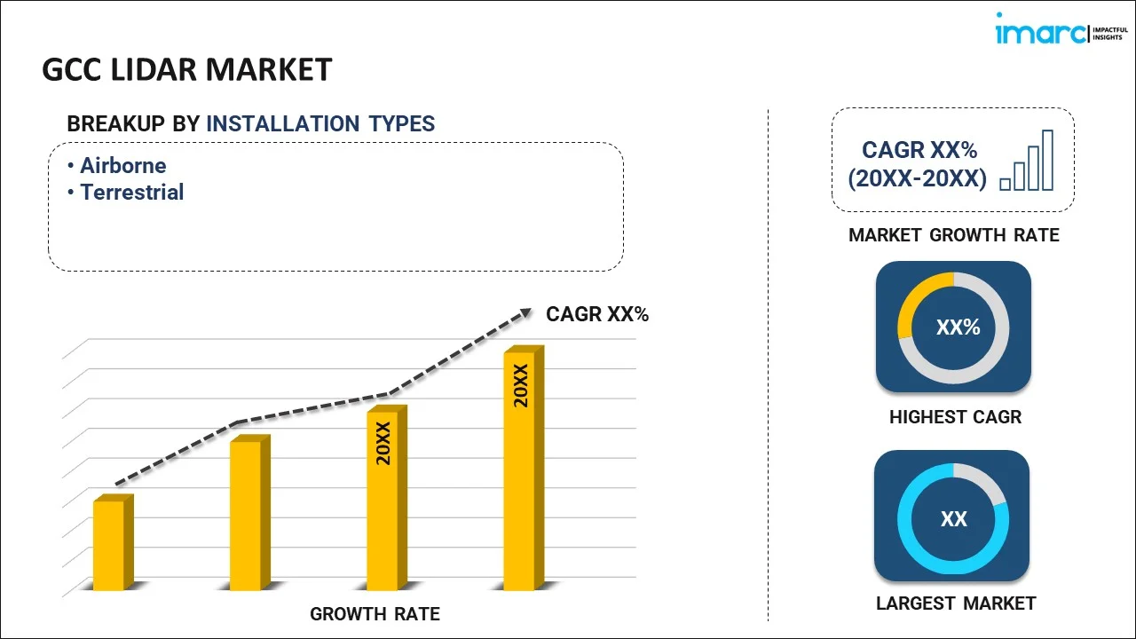
Installation Type Insights:
To get detailed segment analysis of this market Request Sample
- Airborne
- Terrestrial
The report has provided a detailed breakup and analysis of the market based on the installation type. This includes airborne and terrestrial.
Component Insights:
- Laser Scanners
- Navigation Systems
- Global Positioning Systems
- Others
The report has provided a detailed breakup and analysis of the market based on the component. This includes laser scanners, navigation systems, global positioning systems and others.
Application Insights:
- Corridor Mapping
- Engineering
- Environment
- Exploration
- ADAS
- Others
A detailed breakup and analysis of the market based on the application has also been provided in the report. This includes corridor mapping, engineering, environment, exploration, ADAS and others.
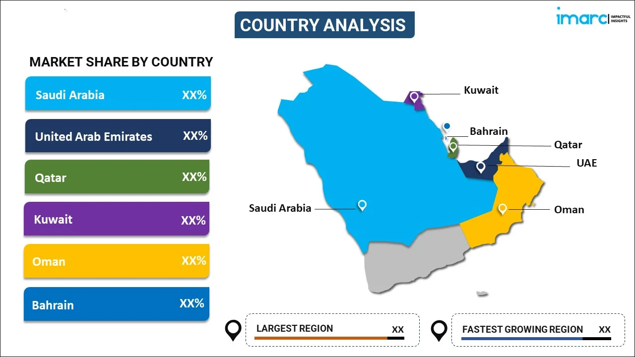
Country Insights:
To get detailed regional analysis of this market Request Sample
- Saudi Arabia
- UAE
- Qatar
- Bahrain
- Kuwait
- Oman
The report has also provided a comprehensive analysis of all the major regional markets, which include Saudi Arabia, the UAE, Qatar, Bahrain, Kuwait, and Oman.
Competitive Landscape:
The report has also provided a comprehensive analysis of the competitive landscape in the market. Competitive analysis such as market structure, key player positioning, top winning strategies, competitive dashboard, and company evaluation quadrant has been covered in the report. Also, detailed profiles of all major companies have been provided.
GCC LiDAR Market Report Coverage:
| Report Features | Details |
|---|---|
| Base Year of the Analysis | 2025 |
| Historical Period | 2020-2025 |
| Forecast Period | 2026-2034 |
| Units | Million USD |
| Scope of the Report | Exploration of Historical and Forecast Trends, Industry Catalysts and Challenges, Segment-Wise Historical and Predictive Market Assessment:
|
| Installation Types Covered | Airborne, Terrestrial |
| Components Covered | Laser Scanners, Navigation Systems, Global Positioning Systems, Others |
| Applications Covered | Corridor Mapping, Engineering, Environment, Exploration, ADAS, Others |
| Countries Covered | Saudi Arabia, UAE, Qatar, Bahrain, Kuwait, Oman |
| Customization Scope | 10% Free Customization |
| Post-Sale Analyst Support | 10-12 Weeks |
| Delivery Format | PDF and Excel through Email (We can also provide the editable version of the report in PPT/Word format on special request) |
Key Questions Answered in This Report:
- How has the GCC LiDAR market performed so far and how will it perform in the coming years?
- What has been the impact of COVID-19 on the GCC LiDAR market?
- What is the breakup of the GCC LiDAR market on the basis of installation type?
- What is the breakup of the GCC LiDAR market on the basis of component?
- What is the breakup of the GCC LiDAR market on the basis of application?
- What are the various stages in the value chain of the GCC LiDAR market?
- What are the key driving factors and challenges in the GCC LiDAR market?
- What is the structure of the GCC LiDAR market and who are the key players?
- What is the degree of competition in the GCC LiDAR market?
Key Benefits for Stakeholders:
- IMARC’s report offers a comprehensive quantitative analysis of various market segments, historical and current market trends, market forecasts, and dynamics of the GCC LiDAR market from 2020-2034.
- The research study provides the latest information on the market drivers, challenges, and opportunities in the GCC LiDAR market.
- Porter's five forces analysis assist stakeholders in assessing the impact of new entrants, competitive rivalry, supplier power, buyer power, and the threat of substitution. It helps stakeholders to analyze the level of competition within the GCC LiDAR industry and its attractiveness.
- Competitive landscape allows stakeholders to understand their competitive environment and provides an insight into the current positions of key players in the market.
Need more help?
- Speak to our experienced analysts for insights on the current market scenarios.
- Include additional segments and countries to customize the report as per your requirement.
- Gain an unparalleled competitive advantage in your domain by understanding how to utilize the report and positively impacting your operations and revenue.
- For further assistance, please connect with our analysts.
 Request Customization
 Speak to an Analyst
 Request Brochure
 Inquire Before Buying
Benefits of Customization
- Personalize this research
- Triangulate with your data
- Get data as per your format and definition
- Gain a deeper dive into a specific application, geography, customer, or competitor
- Any level of personalization
Get in Touch With Us
UNITED STATES
Phone: +1-201-971-6302
INDIA
Phone: +91-120-433-0800
UNITED KINGDOM
Phone: +44-753-714-6104
Email: sales@imarcgroup.com
Client Testimonials


.webp)


