Brazil Geospatial Analytics Market Report by Type (Surface Analysis, Network Analysis, Geovisualization), End Use Industry (Agriculture, Utility and Communication, Defense and Intelligence, Government, Mining and Natural Resources, Automotive and Transportation, Healthcare, Real Estate and Construction, and Others), and Region 2025-2033
Market Overview:
Brazil geospatial analytics market size reached USD 2.0 Billion in 2024. Looking forward, IMARC Group expects the market to reach USD 3.6 Billion by 2033, exhibiting a growth rate (CAGR) of 6.41% during 2025-2033. The growing utilization of geospatial data to optimize infrastructure development, address traffic congestion, and enhance public services, rising demand for data-driven decision-making solutions, and increasing integration of advanced technologies into geospatial analytics represent some of the key factors driving the market.
|
Report Attribute
|
Key Statistics
|
|---|---|
|
Base Year
|
2024
|
|
Forecast Years
|
2025-2033
|
|
Historical Years
|
2019-2024
|
|
Market Size in 2024
|
USD 2.0 Billion |
|
Market Forecast in 2033
|
USD 3.6 Billion |
| Market Growth Rate 2025-2033 | 6.41% |
Geospatial analytics facilitates gathering, manipulating, and interpreting geographical data to extract valuable insights. It relies on geographic information systems (GIS), remote sensing, and data analysis techniques to examine spatial patterns, trends, and relationships in various domains. It considers multiple layers of data, allowing for a comprehensive analysis of various factors. It also includes creating visual representations, such as maps and charts, for easier comprehension and offers real-time data processing for timely decision-making. It helps optimize resource allocation, route planning, and asset management. It enables the identification of potential risks and vulnerabilities in specific geographic areas. Besides this, it assists in tracking and managing environmental changes, such as deforestation or climate patterns. It supports businesses in identifying optimal locations for expansion and target demographics. It also aids in city planning, land-use analysis, infrastructure development, emergency response, disaster management, and crime mapping. Besides this, it helps improve route optimization, traffic management, and public transportation planning and mitigate risks related to property and natural disasters.
Brazil Geospatial Analytics Market Trends:
The escalating demand for data-driven decision-making solutions represents one of the primary factors contributing to the market growth in Brazil. Additionally, businesses, government agencies, and various organizations are adopting geospatial analytics to provide actionable insights for informed choices, which is driving its demand in the country. Along with this, the rising utilization of geospatial data to optimize infrastructure development, address traffic congestion, and enhance public services is another significant factor facilitating the market growth. Apart from this, the increasing availability of spatial data through satellite imagery, drones, and IoT devices is allowing for more comprehensive and real-time analysis, benefiting various sectors. Furthermore, the agricultural industry is leveraging geospatial analytics to monitor crop health, optimize resource allocation, and improve yields. Moreover, the increasing availability of rich biodiversity and extensive rainforests is driving the demand for geospatial analytics to monitor and protect these ecosystems in the country. Geospatial analytics is instrumental in tracking deforestation, illegal logging, and biodiversity changes. This aligns with global initiatives for environmental preservation and climate change mitigation, further amplifying the demand for geospatial solutions. Besides this, governing agencies of the country are actively engaged in promoting geospatial technologies, which is bolstering the market growth. In addition, the integration of artificial intelligence (AI) and machine learning (ML) into geospatial analytics is enabling more sophisticated analysis of spatial data, allowing for predictive modeling and the identification of complex patterns. Moreover, the growing focus on smart cities is fostering the adoption of geospatial analytics for urban development in Brazil.
Brazil Geospatial Analytics Market Segmentation:
IMARC Group provides an analysis of the key trends in each segment of the market, along with forecasts at the country level for 2025-2033. Our report has categorized the market based on type and end use industry.
Type Insights:
To get more information on this market, Request Sample
- Surface Analysis
- Network Analysis
- Geovisualization
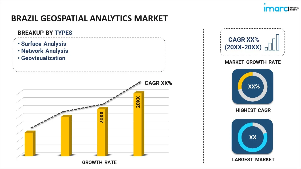
The report has provided a detailed breakup and analysis of the market based on the type. This includes surface analysis, network analysis, and geovisualization.
End Use Industry Insights:
- Agriculture
- Utility and Communication
- Defense and Intelligence
- Government
- Mining and Natural Resources
- Automotive and Transportation
- Healthcare
- Real Estate and Construction
- Others
A detailed breakup and analysis of the market based on the end use industry have also been provided in the report. This includes agriculture, utility and communication, defense and intelligence, government, mining and natural resources, automotive and transportation, healthcare, real estate and construction, and others.
Regional Insights:
- Southeast
- South
- Northeast
- North
- Central-West
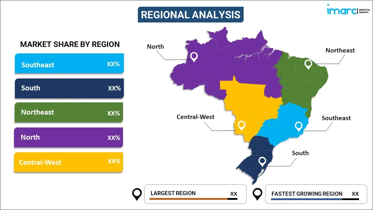
The report has also provided a comprehensive analysis of all the major regional markets, which include Southeast, South, Northeast, North, and Central-West.
Competitive Landscape:
The market research report has also provided a comprehensive analysis of the competitive landscape in the market. Competitive analysis such as market structure, key player positioning, top winning strategies, competitive dashboard, and company evaluation quadrant has been covered in the report. Also, detailed profiles of all major companies have been provided.
Brazil Geospatial Analytics Market Report Coverage:
| Report Features | Details |
|---|---|
| Base Year of the Analysis | 2024 |
| Historical Period | 2019-2024 |
| Forecast Period | 2025-2033 |
| Units | Billion USD |
| Scope of the Report | Exploration of Historical and Forecast Trends, Industry Catalysts and Challenges, Segment-Wise Historical and Predictive Market Assessment:
|
| Types Covered | Surface Analysis, Network Analysis, Geovisualization |
| End Use Industries Covered | Agriculture, Utility and Communication, Defense and Intelligence, Government, Mining and Natural Resources, Automotive and Transportation, Healthcare, Real Estate and Construction, Others |
| Regions Covered | Southeast, South, Northeast, North, Central-West |
| Customization Scope | 10% Free Customization |
| Post-Sale Analyst Support | 10-12 Weeks |
| Delivery Format | PDF and Excel through Email (We can also provide the editable version of the report in PPT/Word format on special request) |
Key Questions Answered in This Report:
- How has the Brazil geospatial analytics market performed so far and how will it perform in the coming years?
- What is the breakup of the Brazil geospatial analytics market on the basis of type?
- What is the breakup of the Brazil geospatial analytics market on the basis of end use industry?
- What are the various stages in the value chain of the Brazil geospatial analytics market?
- What are the key driving factors and challenges in the Brazil geospatial analytics?
- What is the structure of the Brazil geospatial analytics market and who are the key players?
- What is the degree of competition in the Brazil geospatial analytics market?
Key Benefits for Stakeholders:
- IMARC’s industry report offers a comprehensive quantitative analysis of various market segments, historical and current market trends, market forecasts, and dynamics of the Brazil geospatial analytics market from 2019-2033.
- The research report provides the latest information on the market drivers, challenges, and opportunities in the Brazil geospatial analytics market.
- Porter's five forces analysis assist stakeholders in assessing the impact of new entrants, competitive rivalry, supplier power, buyer power, and the threat of substitution. It helps stakeholders to analyze the level of competition within the Brazil geospatial analytics industry and its attractiveness.
- Competitive landscape allows stakeholders to understand their competitive environment and provides an insight into the current positions of key players in the market.
Need more help?
- Speak to our experienced analysts for insights on the current market scenarios.
- Include additional segments and countries to customize the report as per your requirement.
- Gain an unparalleled competitive advantage in your domain by understanding how to utilize the report and positively impacting your operations and revenue.
- For further assistance, please connect with our analysts.
 Request Customization
 Speak to an Analyst
 Request Brochure
 Inquire Before Buying




.webp)



.webp)

