
Airborne LiDAR Market Report by Type (Airborne Topographic LiDAR, Airborne Bathymetric LiDAR), Component (Laser Scanners, Inertial Navigation Systems, Camera, GPS and GNSS Receivers, Micro-Electromechanical Systems), Platform (Fixed Wing Aircraft, Rotary Wing Aircraft, UAVs), Application (Corridor Mapping, Seismology, Exploration and Detection, and Others), End User (Aerospace and Defense, Civil Engineering, Forestry and Agriculture, Transportation, Archaeology, Mining Industry), and Region 2026-2034
Market Overview:
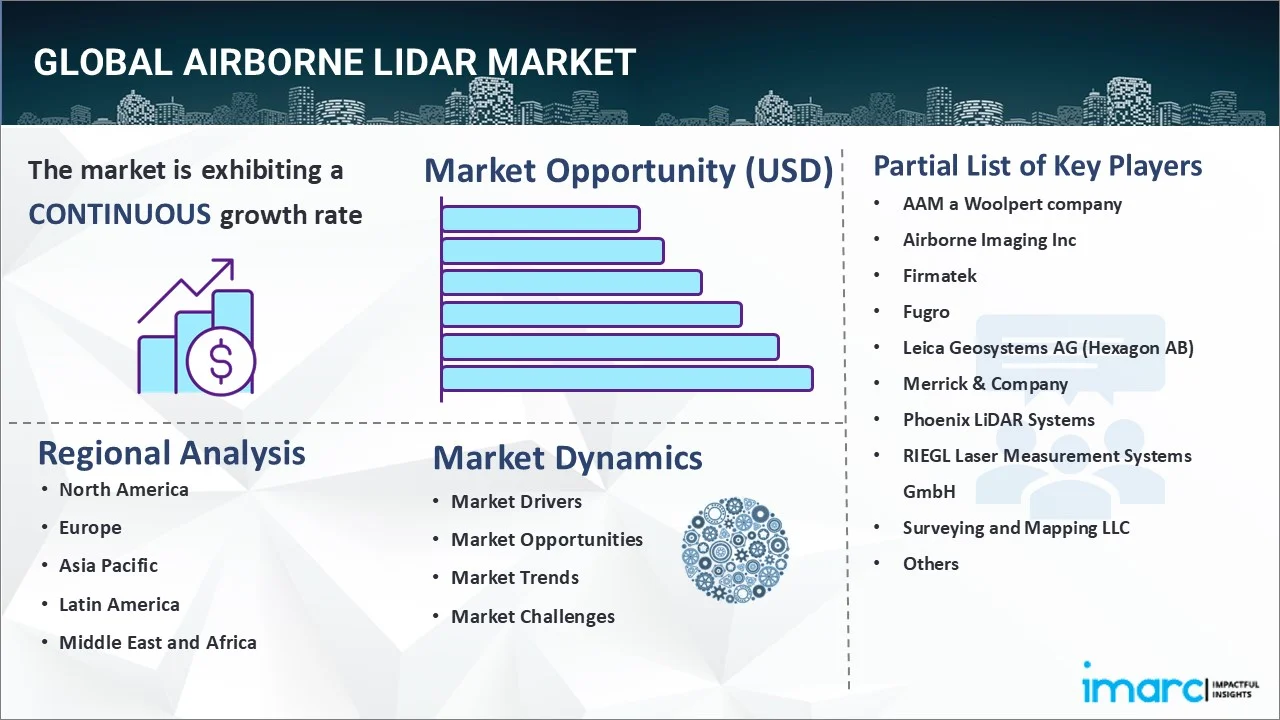
The global airborne LiDAR market size reached USD 1,024.8 Million in 2025. Looking forward, IMARC Group expects the market to reach USD 2,882.2 Million by 2034, exhibiting a growth rate (CAGR) of 11.81% during 2026-2034. The growing application in the agriculture industry, increasing demand for detecting phytoplankton fluorescence and biomass in the ocean surface, and rising use in the defense industry represent some of the key factors driving the market.
|
Report Attribute
|
Key Statistics
|
|---|---|
|
Base Year
|
2025
|
|
Forecast Years
|
2026-2034
|
|
Historical Years
|
2020-2025
|
|
Market Size in 2025
|
USD 1,024.8 Million |
|
Market Forecast in 2034
|
USD 2,882.2 Million |
| Market Growth Rate 2026-2034 | 11.81% |
Airborne light detection and ranging (LiDAR) refers to the remote sensing technique that is designed to obtain three-dimensional (3D) data about the surface of the earth and the target object. It comprises laser scanners, inertial navigation systems, cameras, global positioning systems (GPS) and global navigation satellite system (GNSS) receivers, and micro-electromechanical systems. It is available as airborne topographic LiDAR and airborne bathymetric LiDAR. It offers greater efficiency, provides image acquisition, and assists in gathering accurate spatial data. It allows scientists and mapping professionals to easily examine natural and manmade environments while providing accuracy, precision, and flexibility. It also aids in mapping wide areas in a short time with precise measurement. Besides this, it is not affected by any geometrical distortions, such as angular landscape, as compared to other kinds of data collection methods. It is widely utilized for corridor mapping, seismology, and exploration and detection. As a result, airborne LiDAR is employed in the aerospace, defense, agriculture, mining, and transportation industries across the globe.
To get more information on this market Request Sample
Airborne LiDAR Market Trends:
At present, the rising demand for airborne LiDAR in the defense industry to reduce the deaths in the war field, increase the accuracy of operations, and protect perimeters represents one of the key factors supporting the growth of the market. Besides this, the growing utilization of airborne LiDAR in the agriculture industry for the analysis of yield rates, crop scouting, and seed dispersions is offering a positive market outlook. Additionally, there is a rise in the need to know about the exact depth of the ocean surface to locate any object in the case of a maritime accident and for research purposes. This, coupled with the increasing utilization of airborne LiDAR for calculating phytoplankton fluorescence and biomass on the ocean surface, is propelling the growth of the market. Apart from this, the rising demand for airborne LiDAR in forest management and planning around the world is offering lucrative growth opportunities to industry investors. Moreover, the increasing demand for 3D imaging in spatial surveys and corridor mapping is positively influencing the market. In addition, the growing utilization of airborne LiDAR in road and highway construction activities is contributing to the growth of the market. Furthermore, the rising adoption of airborne LiDAR in spacecraft and fighter jets for advanced security and 3D mapping is strengthening the market growth.
Key Market Segmentation:
IMARC Group provides an analysis of the key trends in each sub-segment of the global airborne LiDAR market report, along with forecasts at the global, regional and country level from 2026-2034. Our report has categorized the market based on type, component, platform, application and end user.
Type Insights:
To get detailed segment analysis of this market Request Sample
- Airborne Topographic LiDAR
- Airborne Bathymetric LiDAR
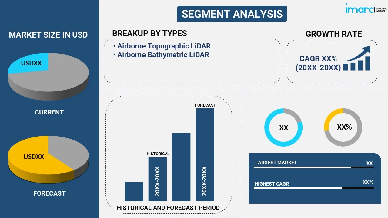
The report has provided a detailed breakup and analysis of the airborne LiDAR market based on the type. This includes airborne topographic LiDAR and airborne bathymetric LiDAR. According to the report, airborne topographic LiDAR represented the largest segment.
Component Insights:
- Laser Scanners
- Inertial Navigation Systems
- Camera
- GPS and GNSS Receivers
- Micro-Electromechanical Systems
A detailed breakup and analysis of the airborne LiDAR market based on the component has also been provided in the report. This includes laser scanners, inertial navigation systems, camera, GPS and GNSS receivers, and micro-electromechanical systems. According to the report, laser scanners accounted for the largest market share.
Platform Insights:
- Fixed Wing Aircraft
- Rotary Wing Aircraft
- UAVs
A detailed breakup and analysis of the airborne LiDAR market based on the platform has also been provided in the report. This includes fixed wing aircraft, rotary wing aircraft, and UAVs. According to the report, fixed wing aircraft accounted for the largest market share.
Application Insights:
- Corridor Mapping
- Seismology
- Exploration and Detection
- Others
A detailed breakup and analysis of the airborne LiDAR market based on the application has also been provided in the report. This includes corridor mapping, seismology, exploration and detection, and others. According to the report, corridor mapping accounted for the largest market share.
End-User Insights:
- Aerospace and Defense
- Civil Engineering
- Forestry and Agriculture
- Transportation
- Archaeology
- Mining Industry
A detailed breakup and analysis of the airborne LiDAR market based on the end-users has also been provided in the report. This includes aerospace and defense, civil engineering, forestry and agriculture, transportation, archaeology, and mining industry. According to the report, aerospace and defense accounted for the largest market share.
Regional Insights:
.webp)
To get more information on the regional analysis of this market Request Sample
- North America
- United States
- Canada
- Asia-Pacific
- China
- Japan
- India
- South Korea
- Australia
- Indonesia
- Others
- Europe
- Germany
- France
- United Kingdom
- Italy
- Spain
- Russia
- Others
- Latin America
- Brazil
- Mexico
- Others
- Middle East and Africa
The report has also provided a comprehensive analysis of all the major regional markets, which include North America (the United States and Canada); Asia Pacific (China, Japan, India, South Korea, Australia, Indonesia, and others); Europe (Germany, France, the United Kingdom, Italy, Spain, Russia, and others); Latin America (Brazil, Mexico, and others); and the Middle East and Africa. According to the report, North America (the United States and Canada) was the largest market for airborne LiDAR. Some of the factors driving the North America airborne LiDAR market included the increasing utilization in surveying and mapping applications, rising application in agriculture observation and forest monitoring, presence of major developers of the technology, etc.
Competitive Landscape:
The report has also provided a comprehensive analysis of the competitive landscape in the global airborne LiDAR market. Competitive analysis such as market structure, market share by key players, player positioning, top winning strategies, competitive dashboard, and company evaluation quadrant has been covered in the report. Also, detailed profiles of all major companies have been provided. Some of the companies covered include AAM a Woolpert company, Airborne Imaging Inc, Firmatek, Fugro, Leica Geosystems AG (Hexagon AB), Merrick & Company, Phoenix LiDAR Systems, RIEGL Laser Measurement Systems GmbH, Surveying and Mapping LLC, Teledyne Technologies Incorporated, Trimble Inc., Velodyne Lidar Inc., YellowScan, etc. Kindly note that this only represents a partial list of companies, and the complete list has been provided in the report.
Report Coverage:
| Report Features | Details |
|---|---|
| Base Year of the Analysis | 2025 |
| Historical Period | 2020-2025 |
| Forecast Period | 2026-2034 |
| Units | Million USD |
| Segment Coverage | Type, Component, Platform, Application, End User, Region |
| Region Covered | Asia Pacific, Europe, North America, Latin America, Middle East and Africa |
| Countries Covered | United States, Canada, Germany, France, United Kingdom, Italy, Spain, Russia, China, Japan, India, South Korea, Australia, Indonesia, Brazil, Mexico |
| Companies Covered | AAM a Woolpert company, Airborne Imaging Inc, Firmatek, Fugro, Leica Geosystems AG (Hexagon AB), Merrick & Company, Phoenix LiDAR Systems, RIEGL Laser Measurement Systems GmbH, Surveying And Mapping LLC, Teledyne Technologies Incorporated, Trimble Inc., Velodyne Lidar Inc. and YellowScan |
| Customization Scope | 10% Free Customization |
| Post-Sale Analyst Support | 10-12 Weeks |
| Delivery Format | PDF and Excel through Email (We can also provide the editable version of the report in PPT/Word format on special request) |
Key Benefits for Stakeholders:
- IMARC’s report offers a comprehensive quantitative analysis of various market segments, historical and current market trends, market forecasts, and dynamics of the airborne LiDAR market from 2020-2034.
- The research study provides the latest information on the market drivers, challenges, and opportunities in the global airborne LiDAR market.
- The study maps the leading, as well as the fastest-growing, regional markets. It further enables stakeholders to identify the key country-level markets within each region.
- Porter's five forces analysis assist stakeholders in assessing the impact of new entrants, competitive rivalry, supplier power, buyer power, and the threat of substitution. It helps stakeholders to analyze the level of competition within the airborne LiDAR industry and its attractiveness.
- Competitive landscape allows stakeholders to understand their competitive environment and provides an insight into the current positions of key players in the market.
Key Questions Answered in This Report
The airborne LiDAR market was valued at USD 1,024.8 Million in 2025.
The airborne LiDAR market is projected to exhibit a CAGR of 11.81% during 2026-2034.
The airborne LiDAR market is driven by increasing demand for precise mapping and surveying in industries such as agriculture, forestry, construction, and environmental monitoring. Technological advancements in LiDAR systems, growing adoption for infrastructure development, and the need for accurate data in geospatial analysis are key factors fueling market growth.
North America (the United States and Canada) currently dominates the market, driven by the increasing utilization in surveying and mapping applications, rising application in agriculture observation and forest monitoring, presence of major developers of the technology, etc.
Some of the major players in the airborne LiDAR market include AAM a Woolpert company, Airborne Imaging Inc, Firmatek, Fugro, Leica Geosystems AG (Hexagon AB), Merrick & Company, Phoenix LiDAR Systems, RIEGL Laser Measurement Systems GmbH, Surveying And Mapping LLC, Teledyne Technologies Incorporated, Trimble Inc., Velodyne Lidar Inc. and YellowScan.
Need more help?
- Speak to our experienced analysts for insights on the current market scenarios.
- Include additional segments and countries to customize the report as per your requirement.
- Gain an unparalleled competitive advantage in your domain by understanding how to utilize the report and positively impacting your operations and revenue.
- For further assistance, please connect with our analysts.
 Request Customization
 Speak to an Analyst
 Request Brochure
 Inquire Before Buying


.webp)




.webp)

